Catawba Wateree Water Management Group 2015 Annual Report
 Framework Memo Webinar Slides
  Webinar Recording
 Assessment Tool
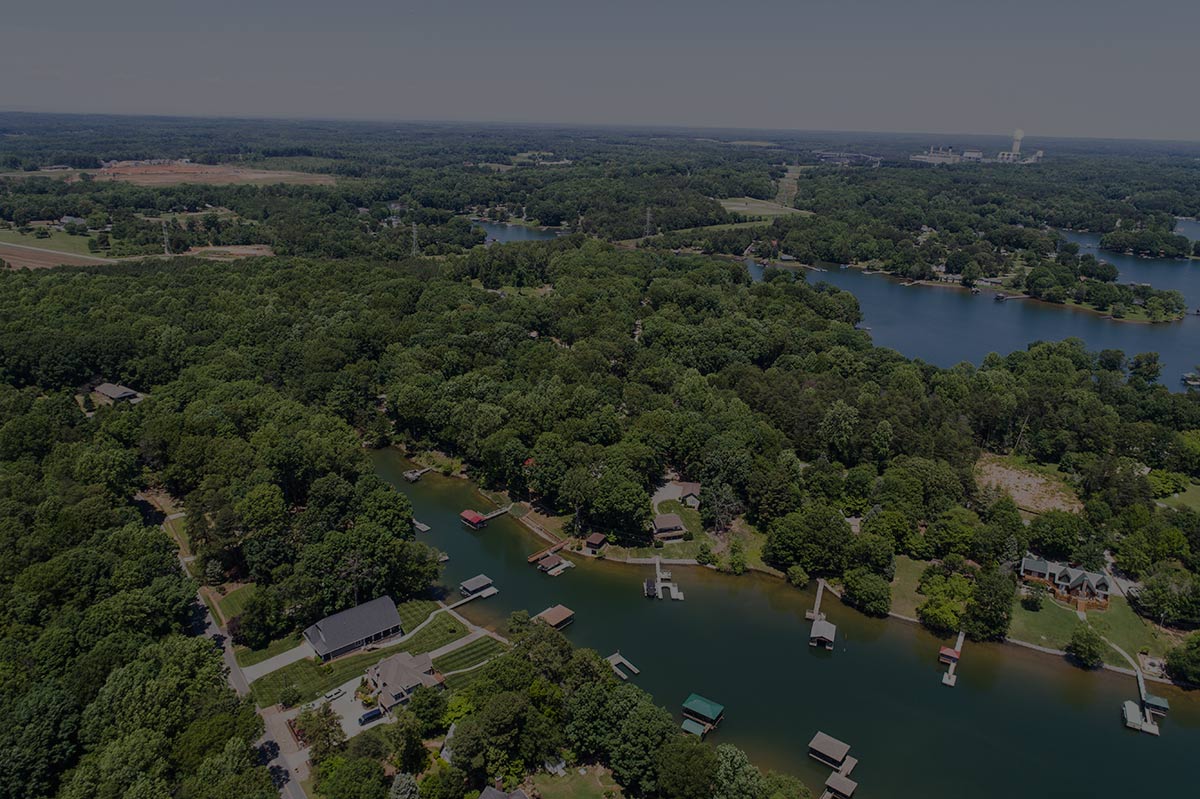
In 2019, the CWWMG co-funded a study by RTI International for The Water Research Foundation (WRF) which developed and applied a framework to prioritize areas for conservation within the Catawba-Wateree Basin based on projected future hydrologic and water quality changes (study entitled “Quantifying the Potential Benefits of Land Conservation on Water Supply to Optimize Return on Investments”; Eddy et al., 2019). The framework uses RTI’s Watershed Flow and Allocation model (WaterFALL®; Eddy et al., 2017) to conduct the watershed hydrologic and sediment water quality modeling necessary for the framework. Given feedback on the original study and newly available data, this project was conducted to update selected inputs to the framework, revise basin-wide conservation priorities, and create a map-based user tool to allow stakeholders to explore these priorities for source water protection planning.
The technical memo prepared for this project describes the updates made to the original documented framework. The updates documented include: (1) changes to the model scenarios focused on updating the geospatial coverages used to characterize the baseline (i.e., current) and future land uses within the basin; (2) a new supplementary valuation of currently conserved lands throughout the basin; (3) the methods for this additional valuation assessment as well as updated descriptions of the economic benefits produced through the framework; and (4) the updated conservation priorities and corresponding economic benefits.
While the original study characterized the watershed from the headwaters to the outlet of Lake Wateree, this study update includes completed hydrologic and water quality modeling below Lake Wateree to the confluence with the Congaree River. (Economic valuation methods and data for this portion of the watershed were not updated so no economic benefits are provided for this expanded portion of the watershed.)
With the conservation framework, users have the flexibility to define scenarios that represent the important risk factors to them as well as to decide which hydrologic and water quality metrics and in which combinations to use when scoring the changes to determine the resultant hot spots.
The final element of this project, funded by the Catawba Wateree Initiative, was the development of an ArcGIS Story Map online user tool. The user tool linked below provides seven pre-defined assessments targeting different source water protection objectives of interest to the local stakeholder community. An additional assessment also provides a direct comparison to the “Equal Weight” assessment (i.e., an assessment where the hot spots show areas where the greatest overall changes in hydrology and water quality are expected) to show the benefits of mitigating those changes through conservation within each catchment of the basin. A final map displays the economic valuation of co-benefits of conservation for each catchment in the basin. On each assessment map a user may select any hot spot to view hydrologic, water quality, and economic benefits of mitigation.
Link to Conservation Prioritization Tool for Source Water Protection: https://catawbalands.org/cwi
- Connect
- Resources
-
Social Media